Ezzel az azonosítóval hivatkozhat erre a dokumentumra forrásmegjelölésben vagy hiperhivatkozás esetén:
http://elartu.tntu.edu.ua/handle/123456789/2753

Összes dokumentumadat
| DC mező | Érték | Nyelv |
|---|---|---|
| dc.contributor.author | Триснюк, Василь Миколайович | - |
| dc.contributor.author | Trysnyuk, V. | - |
| dc.date.accessioned | 2014-01-21T10:40:11Z | - |
| dc.date.available | 2014-01-21T10:40:11Z | - |
| dc.date.issued | 2013-12-16 | - |
| dc.identifier.citation | В. Триснюк. Моделювання природно-технічної системи гідроресурсів / В. Триснюк // Вісник ТНТУ. — 2013. — Том 69. — № 1. — С.205-212. — (приладобудування та інформаційно-вимірювальні технології). | uk |
| dc.identifier.issn | 1727-7108 | - |
| dc.identifier.uri | http://elartu.tntu.edu.ua/handle/123456789/2753 | - |
| dc.description.abstract | Обґрунтовано методологію і методи оцінювання гідроекологічної безпеки природно-техногенних екосистем та запропонована модель взаємозв’язку гідроекосистеми і природних ресурсів. Розроблено показники оцінювання стану природно-техногенної гідроекосистеми залежно від конфігурації остаточного компонувального рішення і міри порушеності басейнових ландшафтів. Для визначення комплексного критерію гідроекологічної безпеки використовується моделювання природно-технічної системи для формалізації взаємодії техногенних і екологічних процесів. | uk |
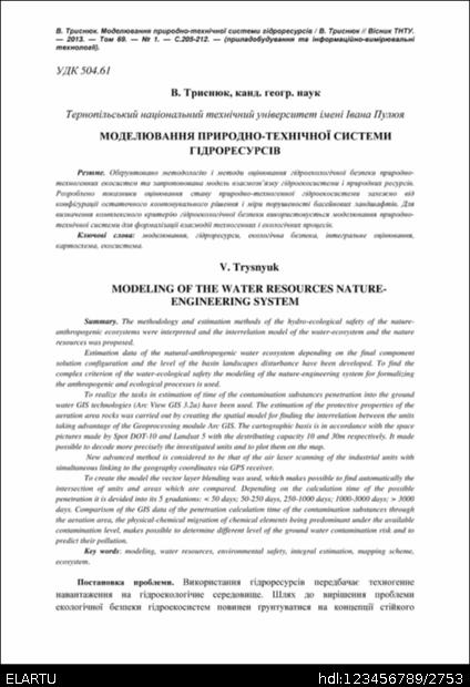
| dc.description.abstract | The methodology and estimation methods of the hydro-ecological safety of the nature-anthropogenic ecosystems were interpreted and the interrelation model of the water-ecosystem and the nature resources was proposed. Estimation data of the natural-anthropogenic water ecosystem depending on the final component solution configuration and the level of the basin landscapes disturbance have been developed. To find the complex criterion of the water-ecological safety the modeling of the nature-engineering system for formalizing the anthropogenic and ecological processes is used. To realize the tasks in estimation of time of the contamination substances penetration into the ground water GIS technologies (Arc View GIS 3.2a) have been used. The estimation of the protective properties of the aeration area rocks was carried out by creating the spatial model for finding the interrelation between the units taking advantage of the Geoprocessing module Arc GIS. The cartographic basis is in accordance with the space pictures made by Spot DOT-10 and Landsat 5 with the destributing capacity 10 and 30m respectively. It made possible to decode more precisely the investigated units and to plot them on the map. New advanced method is considered to be that of the air laser scanning of the industrial units with simultaneous linking to the geography coordinates via GPS receiver. To create the model the vector layer blending was used, which makes possible to find automatically the intersection of units and areas which are compared. Depending on the calculation time of the possible penetration it is devided into its 5 gradations: < 50 days; 50-250 days, 250-1000 days; 1000-3000 days; > 3000 days. Comparison of the GIS data of the penetration calculation time of the contamination substances through the aeration area, the physical-chemical migration of chemical elements being predominant under the available contamination level, makes possible to determine different level of the ground water contamination risk and to predict their pollution. | uk |
| dc.language.iso | uk | uk |
| dc.publisher | Тернопільський національний технічний університет ім. Івана Пулюя | uk |
| dc.subject | моделювання | uk |
| dc.subject | гідроресурси | uk |
| dc.subject | екологічна безпека | uk |
| dc.subject | інтегральне оцінювання | uk |
| dc.subject | картосхема | uk |
| dc.subject | екосистема | uk |
| dc.subject | modeling | uk |
| dc.subject | water resources | uk |
| dc.subject | environmental safety | uk |
| dc.subject | integral estimation | uk |
| dc.subject | mapping scheme | uk |
| dc.subject | ecosystem | uk |
| dc.title | Моделювання природно-технічної системи гідроресурсів | uk |
| dc.title.alternative | Modeling of the water resources nature-engineering system | uk |
| dc.type | Article | uk |
| dc.rights.holder | © „Вісник Тернопільського національного технічного університету“ | uk |
| dc.coverage.placename | Тернопіль, Україна | uk |
| dc.status | Опубліковано раніше | uk |
| dc.subject.udc | 504.61 | uk |
| Ebben a gyűjteményben: | Вісник ТНТУ, 2013, № 1(69) | |
Fájlok a dokumentumban:
Minden dokumentum, ami a DSpace rendszerben szerepel, szerzői jogokkal védett. Minden jog fenntartva!